How the Ordnance Survey shaped the Scotland we see today
By unveiling the secrets of landscape, mapmakers contributed to the deforestation and clearance of the Highlands and Islands.
Descend into the London Underground and you encounter a land of advertising.
Between posters for Wicked and the Lion King are pasted the open vistas of the Scottish Highlands – all part of VisitScotland’s campaign to persuade commuters to travel north. In a busy city, emptiness is a commodity.
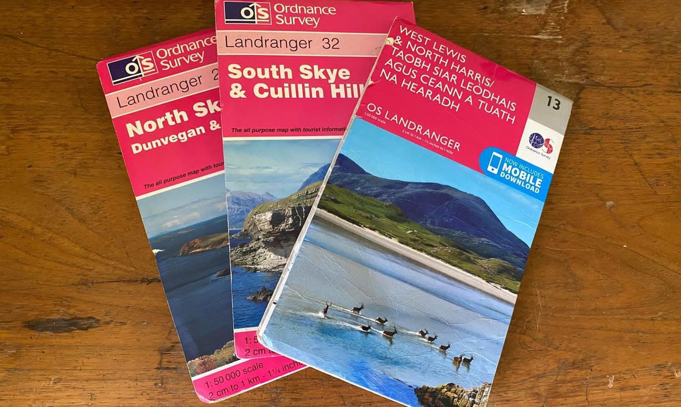
And it works. Every year, thousands of city weary people are enticed to the mountains, Ordnance Survey maps tucked into their rucksacks. The front covers of these maps display equally iconic landscapes: heather moorland, treeless glens, red deer and tumbledown buildings.
If visitors think about these maps at all, it is as a guide to exploring these wild places. What most won’t realise is the role that the Ordnance Survey played in creating the physical geographies they depict, underpinning the transition from a wooded and peopled landscape to the empty scenery used to sell Scotland to the public today.
Mapping Scotland
The Ordnance Survey was borne of the Jacobite uprisings in the eighteenth century.
Ostensibly fought to restore the Catholic Stuarts to power, these rebellions culminated in 1745, when Charles Stuart – Bonnie Prince Charlie – landed in the Western Isles. He rallied the Catholic clans of the Scottish Highlands and won a string of victories, but the British army caught up at Culloden and emerged victorious.
With the Jacobites defeated, the British state set about ensuring that the clans could never rise again. This meant crushing the Gaelic way of life and instigating a mass de-peopling of the Highlands and Islands. That, in turn, required a better understanding of the landscape that had harboured their opponents.
Despite their eventual victory, the uprising demonstrated to the British government how little they knew about the Scottish Highlands. The Jacobites had been able to outfight the redcoats due to their superior knowledge of the land. To ensure that this could never happen again, the government decided on a massive undertaking: to map every mile of the Scottish mainland.
This survey was conducted by the Board of Ordnance, a sprawling government department responsible for everything from munitions to shipping and military engineering. This is how the Ordnance Survey got its name. The Board's first survey of Scotland took 13 years, and became known as the Roy Military Map of Scotland, after its architect, William Roy.
Roy paid particular attention to wetlands and passable valleys: vital information for an army fighting an insurgency. After all, the Jacobites had triumphed at the battle of Prestonpans by sneaking through a bog that the redcoats had thought impassable.
Centres of population were another priority. A wave of road-building had followed the last Jacobite uprising in 1715. Roy’s map was designed to help the Board of Ordnance to expand this network, allowing the army to access the remote glens, lochs and dells where the clansfolk lived. Down these new arteries, a tide of displacement would flow – the start of centuries of depopulation that would shape the Highlands we see today.
Scotland before the Ordnance Survey
By the mid-1700s, there existed two distinct Scotlands. The Lowlands were already well within the orbit of Imperial Britain. Smallholdings had given way to large-scale sheep farming, and the vast majority of its people were English-speaking Protestants.
In the Highlands and Islands, however, most people were still Gaelic-speaking Catholics. Townships known as ‘clachans’ ran on a collectivised model. Highland cattle, rather than sheep, were the commercial livestock of choice. These hardy creatures could survive on upland pastures, which meant they did not have to be grazed intensively on the valley floor during winter.
Agriculture operated on the runrig system, where strips of land were farmed with hand tools – those familiar with northwest Scotland will have noticed their rippling undulations, often on hillsides. In the southern Highlands, there was a thriving tanbark industry; communities relied on oak forests for their income, and practised coppicing instead of industrial logging.
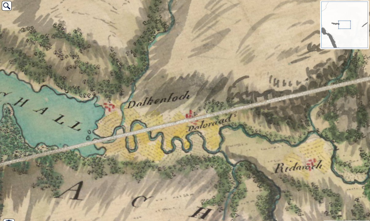
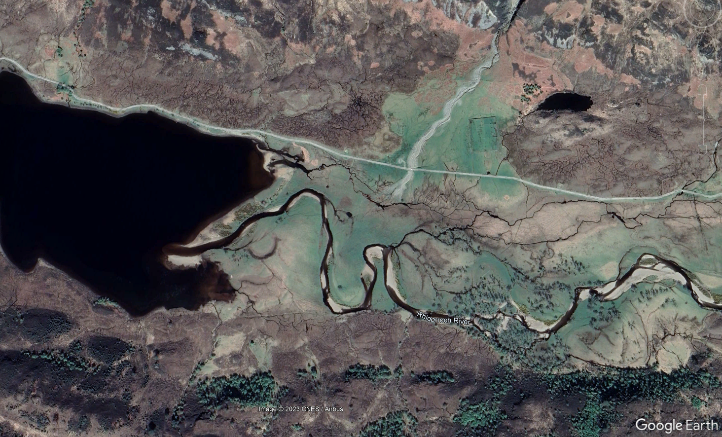
As such, the Highlands of the eighteenth century was still a forested place – at least partially. Roy’s map depicts emerald veins of woodland, tangled across valley floors, along the side of rivers and lochs. Today, these illustrations form the basis of the Ancient Woodland Inventory of Scotland.
But the landscape began to change after the Board of Ordnance opened up the possibility of travel through the Highlands – and with it the subjugation of its people.
Clansfolk were cleared and replaced with black-faced sheep. The breed was introduced to the Highlands in 1752. By the mid-1770s, they had nibbled their way to Ross-shire in the northwest, in part due to the new roads.
The breed could not survive on the uplands during winter – Scotland was wetter and colder back then – but the sheltered glens were suitable for overwintering, and many landowners simply chopped down the forests to make way for their livestock.
Where sheep farming was not viable, forestry and deer were the flavour of the day.
When the Seven Years War erupted in 1756, the Board of Ordnance began chartering ships to support the war effort in the Americas. This resulted in a booming timber trade, which saw the shipbuilding devour much of the forest at Glen Feshie in the Cairngorms. In the following century, these ships would export the policies of forced displacement, resource stripping and colonial mapping across the globe.
Timber eventually lost its value and Glen Feshie became a gamepark, its hillsides stocked with deer. In 1749, a road was built linking Braemar, less than 20 miles away, with the southern fringe of the Cairngorms. This opened up the glen to English aristocrats like the Earl of Bedford, who leased part of the glen as a hunting lodge, while maintaining a sense of remoteness.
Kept in artificially high numbers to increase the likelihood of a successful hunt, red deer have proved nearly as damaging as sheep for Scottish biodiversity.
The Islands
Before long, the Ordnance Survey was beginning to alter the geography of the islands, too.
In 1844, a hundred years after Bonnie Prince Charlie had landed in the Western Isles, a man called James Matheson bought Lewis, the largest island in the archipelago. Matheson had made his fortune selling opium in China. When he arrived in Lewis, he built himself a castle, and got to work ‘improving’ the island.
Matheson commissioned the Ordnance Survey to map the island for him. After agreeing a fee, the OS obliged, and produced 100 maps of Lewis and North Harris. With this cartographic information, Matheson drained vast swathes of peat bog and built roads across the island.
With the clachans on the west side of the island mapped and accessible, Matheson’s right hand man, Donald Munro, had the people replaced with sheep and deer. In Lewis, this is known as “when the lights went out” because of how completely it devastated the local community. Most went to Canada, while the deer which replaced them were often imported from places like Exmoor in southwest England.
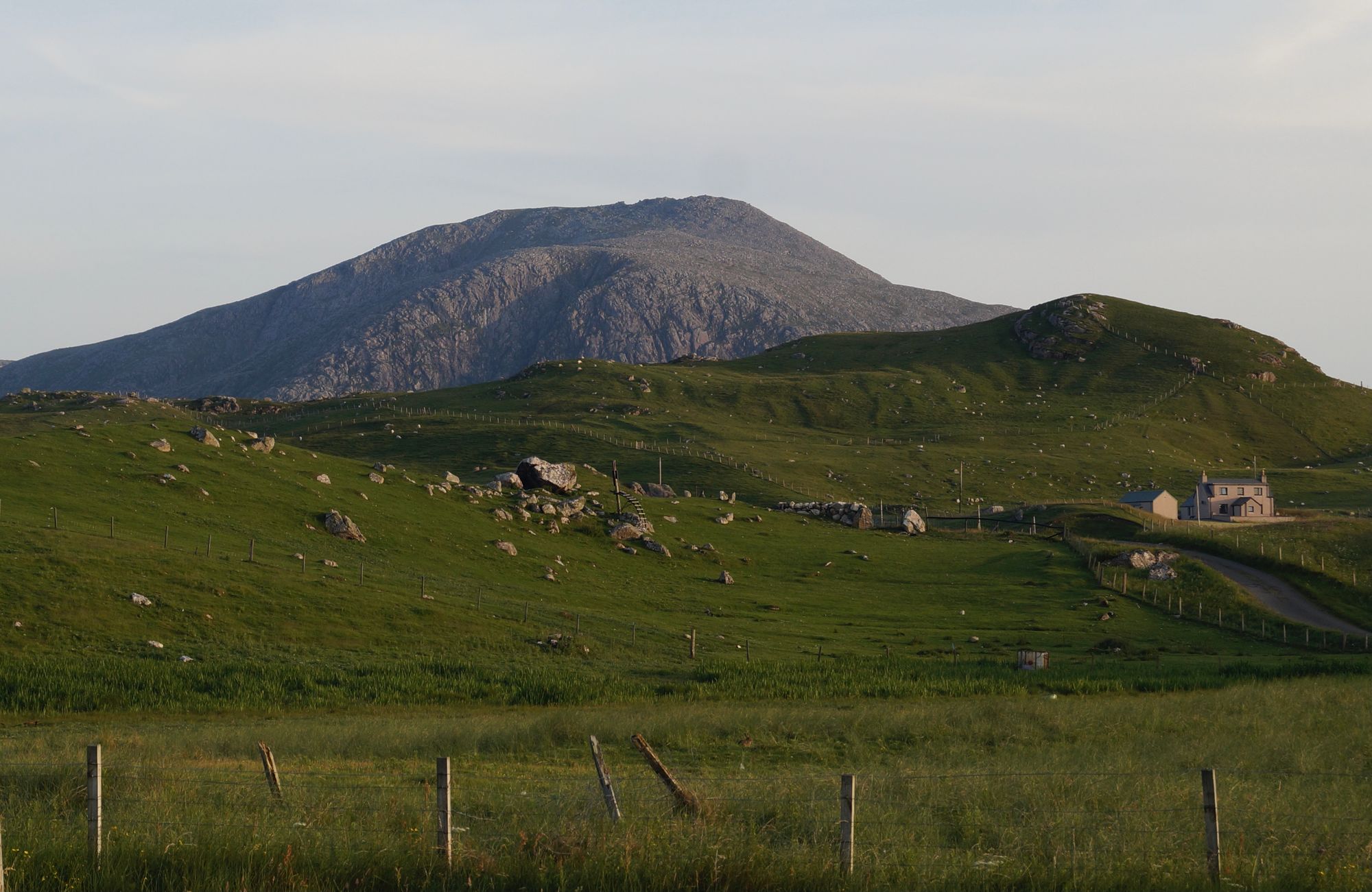
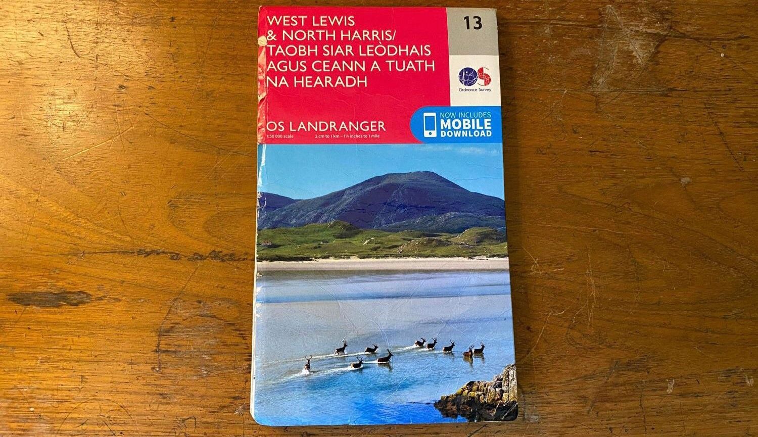
True to this legacy, the cover of the modern OS map for West Lewis & North Harris is foregrounded by a herd of red deer, with one lonely house in the background.
It is not always possible to separate maps from the landscapes they describe. Today, it is unthinkable that a serious hillwalker would venture into the mountains of Scotland without an OS map, either digital or paper.
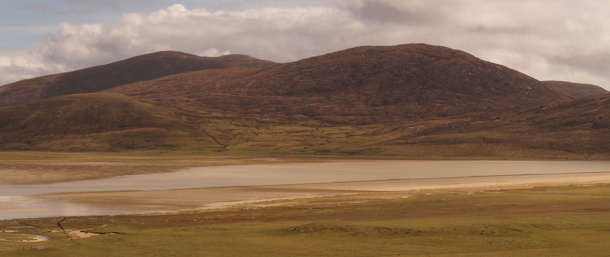
Yet for all their detail, it is interesting to reflect on what they do not show us; the forests, peat bogs, and people, which disappeared due to the Clearances and improvements that the Ordnance Survey enabled.
This article was made possible by funding from The Pebble Trust.

Subscribe to our newsletter
Members receive our premium weekly digest of nature news from across Britain.
Comments
Sign in or become a Inkcap Journal member to join the conversation.
Just enter your email below to get a log in link.


